Virtual Orienteering
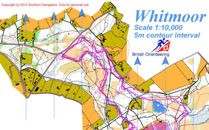
SN offer the concept of virtual orienteering, with our first option Whitmoor Common, Surrey. Once you have run the course (with or without GPS) you can enter your routes and times and compare with other members of the club; maybe even try it a few times to post the record time.
Google map link to the location
Download the Regular course map or the Training course map
Instructions for uploading the GPS file to Routegadget
1) Save the route as a .gpx file. Most GPS devices come with instructions on how to upload your route to the manufacturer’s website. From there you can save a copy of the route in a .gpx format down on to your PC. For example in Garmin Connect you upload your run, go the analyze tab, select the run, then choose “export” from the tool bar, select the GPX format, Save (or Save As) and you’re done.
2) Upload the map on Routegadget. Go to the SN Routegadget; This will take you to the Whitmoor common map in Routegadget.
3) Upload your route into Routegadget. Click on GPS in the top right corner, this will open up two entry fields. For the “Select Format” choose .gpx; for the second use browse to select the file you saved in (1). Then hit “Ok”. This will send you back to the Whitmoor Common map with your route in red with 3 blue dots on it. You may need to zoom out some way to see this. Select the course you ran in the upper right corner (either Regular or Training). This will add the controls for the course in purple.
4) Fit your route. By dragging the 3 blue dots you can move, rotate, enlarge and shrink your route to fit the course. This takes a bit of getting used to but is not too hard after a couple of tries. One tip is before moving any of the points decide where you are going to move all 3 – the blue points are usually at extremes (e.g. N, E, S) and so it’s fairly easy from memory to know roughly where they belong on the course. Then zoom in to make finer adjustments.
5) The moment of truth. IF you can move the 3 dots in such a way that your route passes through the Start, Finish and all control points then you have succeeded. Remember you don’t have to go through the middle of every control point just pass through the control circle so you have about 30m leeway at each control to compensate for any drift in the GPS. Do one final check that you have touched each control – sometimes as you tweak the points to hit one control you have inadvertently moved off another control.
6) Save the course in Routegadget. Hit “Ok” in the white box entitled “Adjust GPS – Step 1”. Ignore Step 2 instead enter your name in the upper right field preferably in the format “45:53 An Orienteer”. Then hit “Save Route”. Your route should now be uploaded with the name “GPS 45:53 An Orienteer” and be available for comparison with other runners in the usual Routegadget way.
7) Cheating. This is easy, all you have to do is use Step 2 to manipulate your route to fit the course. So the trial very much relies on people being honest as they upload. But note while you can cheat on the route you can’t cheat on the time as the GPS route upload implicitly contains the correct time.
